
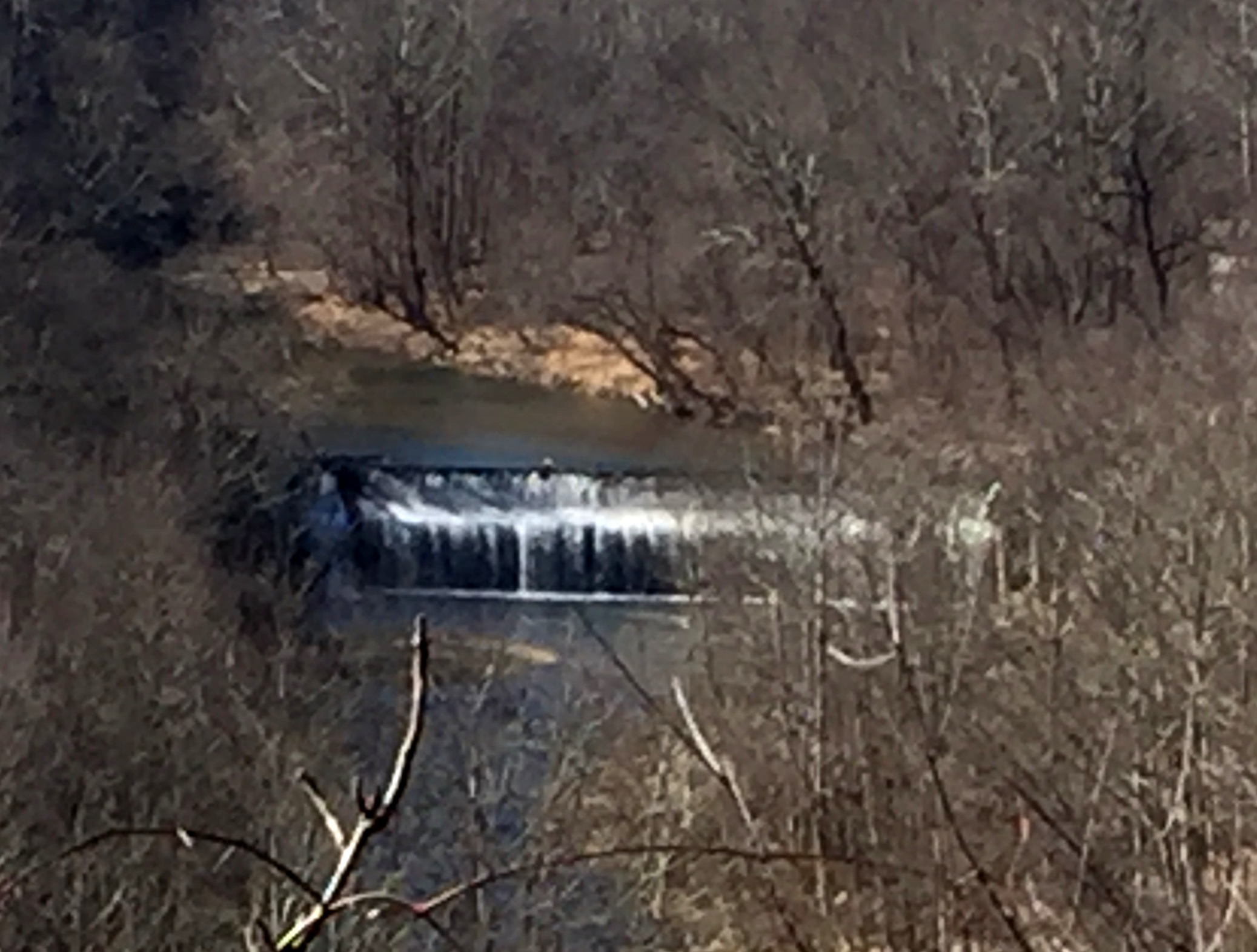
It looks like the state of Maryland is finally prepared to remove the Bloede Dam on the Patapsco River. The Maryland Department of Natural Resources (DNR) has been examining the impacts of the removal for about seven years and at last this old dam built in 1907 is on its way to the scrap heap. I ask everyone to give a rousing cheer for the state of Maryland. This will be the third dam removal on the Patapsco. The goal is to return the river to its natural free flowing state and restore passage up and down the river for fish and other aquatic animals, especially the migratory ones like shad, herring and eels. Think about it, these poor fish haven’t been able to return to their historic spawning grounds in over a hundred years. And on top of it all the Bloede Dam is a public safety hazard and has been so for years because it is no longer in use and it is easily accessible because of its location in the highly over used Patapsco State Park. There have been 3 deaths at the Bloede Dam just in the last 10 years.
For those of you who don’t know where the heck the Patapsco River is, think Baltimore. The river’s watershed spans four counties in Maryland and drains the nasty Baltimore Inner Harbor as well as agricultural and suburban areas. It flows into the Chesapeake Bay which has been undergoing crisis level water quality issues for eons. There is a whole big federal government endeavor called the Chesapeake Bay Program which was established to “clean-up” the Bay at the cost of about $70 million a year.
The decision to remove the dam allows for the natural transportation down the river of the sediment backed up in the impoundment behind the dam structure. I was a bit surprised about the decision as I would think the sediment behind a dam in such an urbanized area would be full of contaminants. So I checked out the DNR decision documents on the release of the sediments and was surprised but happy to see a classic study of both the sediments to be released and the impacts on the environment and the hydrology of the river. The results can be found in two documents: 1) Bloede Dam Biogeochemical Impacts – An Analysis Based on Patapsco River Nutrient Balances by the University of Maryland Center for Environmental Science and 2) Bloede Dam Sediment Transport in the Patapsco River, produced by American Rivers. American Rivers is my favorite non-profit environmental organization of all time. In my opinion, most environmental non-profits are just loaded with lawyers who spend their time suing the Environmental Protection Agency and other government organizations. American Rivers is full of scientists who actually are doing something to improve the environment. The DNR has partnered with American Rivers along with a number of other state and federal organizations in the study of the dam removal.
The Bloede Dam impoundment contains approximately 312,000 cubic yards of sediment of which about half is coarse sand and gravel with the other half being silt. Twenty cores were taken of the sediments with 14 analyzed for contaminants. Miraculously no contaminants were found, not even mercury or polychlorinated biphenyl (PCB) which both bedevil other river systems. However there is phosphorus associated with the silt in the impoundment. Phosphorous and nitrogen are two of the main players in the continuing saga of poor water quality in the Chesapeake Bay. Extraordinary efforts are being made to reduce these two nutrients entry into the Bay because they contribute to algal blooms which deplete oxygen in the water. Oxygen depletion has resulted in the development of several dead spots in the Bay which are essentially no go zones for fish since fish are like us and need to breathe.
So the DNR was alarmed. After all you don’t want a big gulp of silt containing phosphorous rolling down the river into the Bay. A biogeochemical study was conducted to determine if the phosphorous in the river would result in any environmental impacts. A lot of work has been done on phosphorous in the last 20 years and much of it has been associated with studies of the Chesapeake Bay. Just because there is phosphorous in the sediment doesn’t mean that it is going to be released into the water. A lot of variables play into whether the phosphorous leaves its comfy home in the muck to become a dissolved phosphorous micronutrient available to feed the algae. Muck is not really a technical term but it is probably the best description of the organic and inorganic mixture of particles found in estuaries like the Chesapeake Bay. The researchers at the University of Maryland say the chief factors in the Bay area in the adsorption and desorption of phosphorous onto fluvial particulates are the presence of iron oxides and the conversion of iron oxides in low oxygen environments to the meaner, tougher, uglier iron sulfide species.
What does this mean? It means that there is a continuous stream of dissolved phosphorous entering Bay waters from sediments deposited in its low oxygen dead zones. As long as you have iron oxides precipitating in oxygenated waters than you will have phosphorous also precipitating from its dissolved form with both ending up in the sediment. Where you have iron oxides clinging to the muck already, then your phosphorous will cling to the muck too. Where there is low oxygen and the formation of iron sulfides then dissolved phosphorous will be released into the water. So according to the guys at the University the Maryland Center for Environmental Science the presence of oxygen controls the release of phosphorous.
Any phosphorus in suspended sediments flushing out of the Patapsco River into the Bay would then really occur after the sediments are deposited. The researcher used a model developed by the Chesapeake Bay Program to determine how many grams of phosphorous per meter per day were likely to enter the Chesapeake Bay after the destruction of the Bloede Dam. They then expanded the model to determine the yearly input of total phosphorus and dissolved phosphorus which would enter the Bay. They estimate 85,000 pounds of phosphorus are tied up in the silt behind the Bloede Dam. They assumed about 50 percent of the phosphorous was tightly bound up in the silt. The researchers also were able to use other studies to determine that most of the sediment would be spread out over the extent of the Patapsco River and would not be entering the Bay. Once any sediment makes its way to the Bay, the phosphorous will only be released to the water and available to algae under very low oxygen conditions. The researchers therefore concluded that there was very little concern from allowing a natural release of the sediments.
It’s a good thing because dredging the sediment and trucking it away for disposal was estimated to cost an additional $20 million and add a year to the dam removal schedule with trucks operating 24 hours a day to haul off the impoundment’s sediment.
The release of the sediment will definitely have short term impacts on the river downstream from the dam. The dam is about 11.5 miles upstream of the Patapsco River’s entrance to the Bay. Sediment release will result in muddy water as the sediments are picked up and moved downstream in the flow. How muddy depends on the amount of precipitation received following the dam’s removal. If there are heavy rain events then the sediment will move quickly downstream and it will take only 4 weeks to empty the impoundment. Little rain and it will take 6 months. There will be temporary effects of course. Sediment deposits are expected to be 4-6 feet immediately downstream of the dam. It will bury fish habitat, fill pools, and create sand bars but eventually the river will begin to recover its pre-dam profile. Hydrologic models predict within 6 years. A worthy achievement for some short term pain.